← 2026 Routes

Hukvaldy

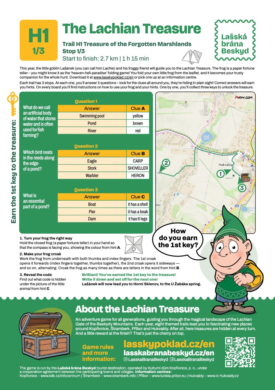
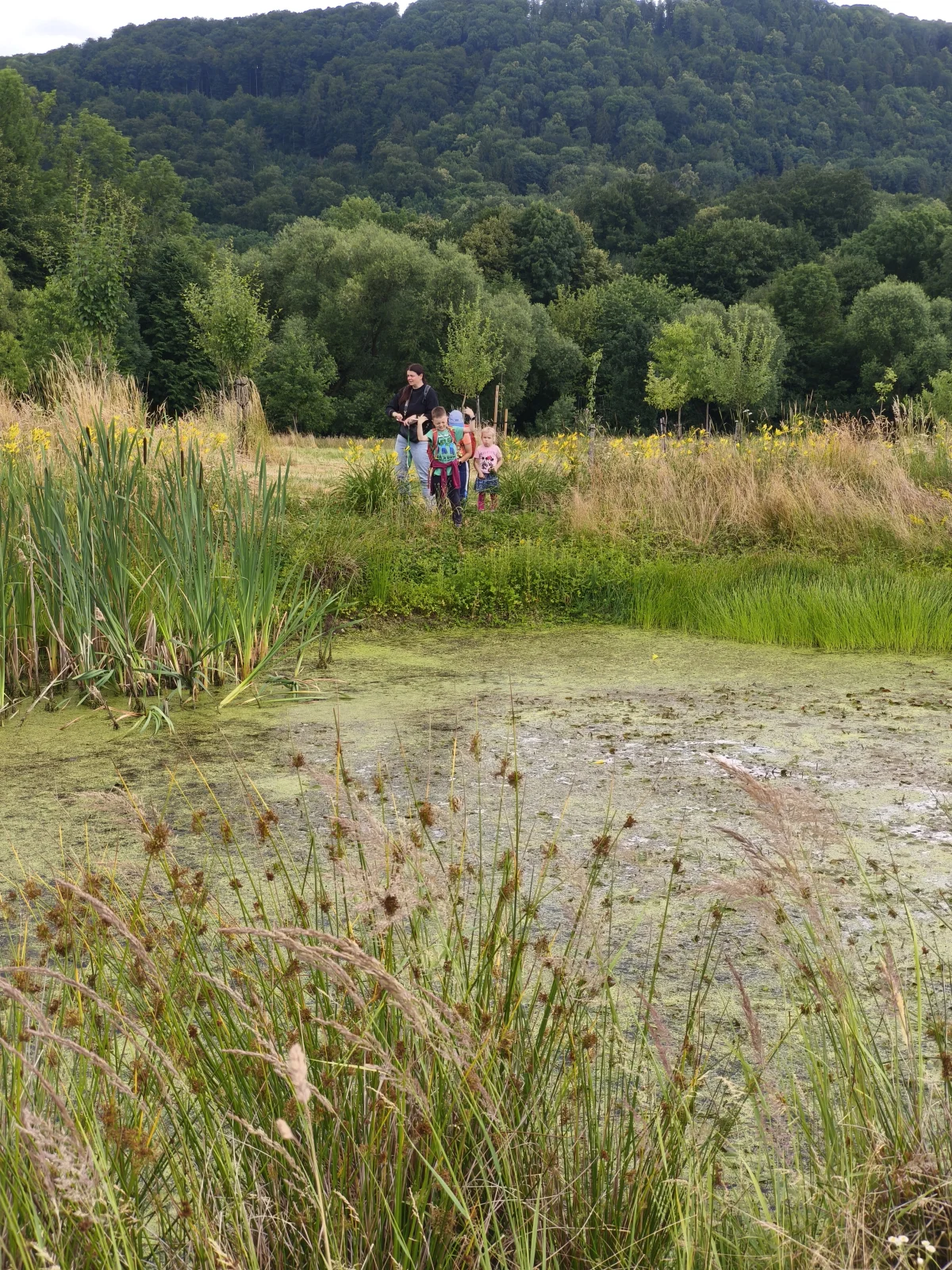
H1 Poklad zapomenutých bažin a mokřadů

  • Distance Od startu k cíli: 2,7 km | 1 h 15 min
  • Suitable
    Walking
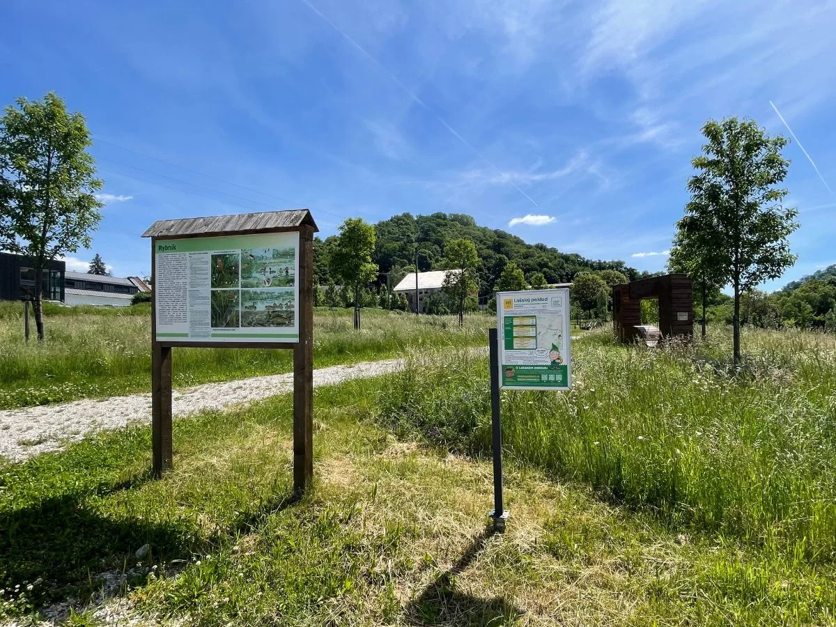
  • Start Infotabule „Rybník“ nad Obecním sadem na Hukvaldech
  • Parking Parkování je možné v centru obce Hukvaldy na placených parkovištích.
  • Warning Currently available only in Czech The game is currently available only in Czech. However, we are also working on versions for English- and Polish-speaking players. Coming soon.

Stations

Infotabule „Rybník“ nad Obecním sadem na Hukvaldech

GPS: 49.623048, 18.219239 Mapy.com ↗ Google Maps ↗

Questions to download

Download questions (PDF) Download questions (PDF)

Station photo

Infotabule „Rybník“ nad Obecním sadem na Hukvaldech

Bonus content

For logged-in players

Stations, hints and the quiz appear after you log in. This way we can track your progress and protect the solution from spoilers.

You can still play offline — walk from start to finish using the on-route signs and hand the coupon in at any IC.

Download GPX Open on Mapy.com ↗